We visited Chilean Patagonia in November-December of 2023.
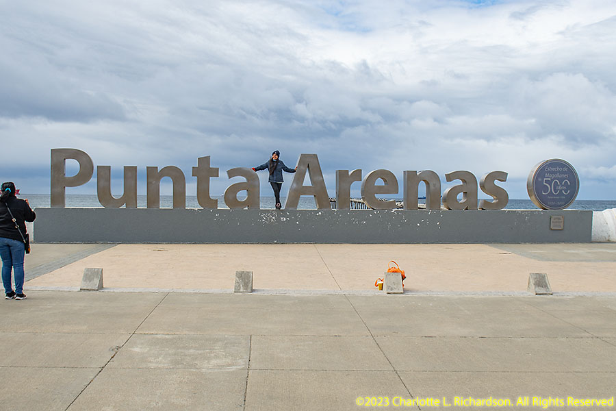
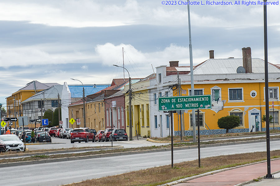
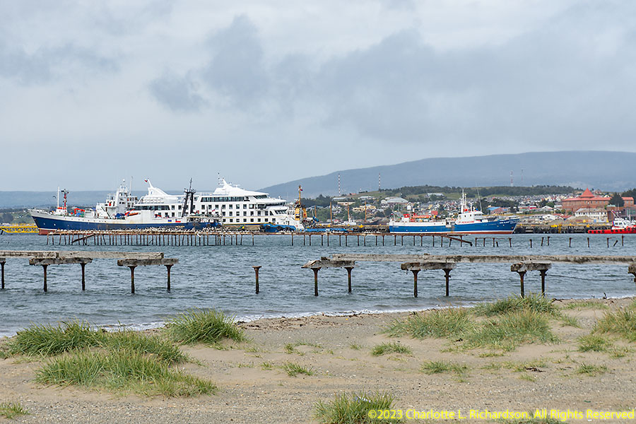
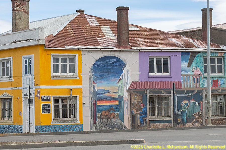
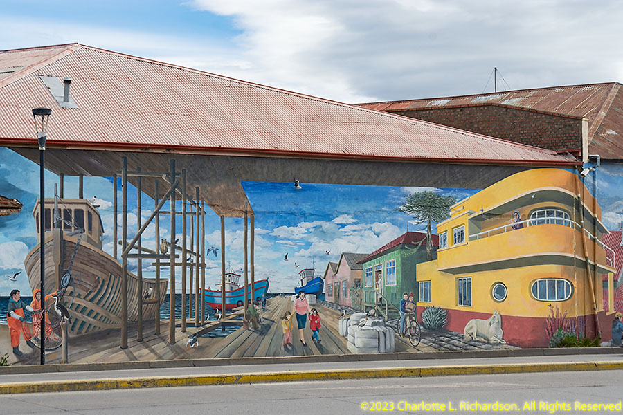
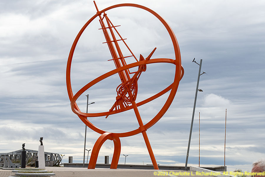
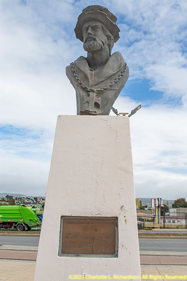
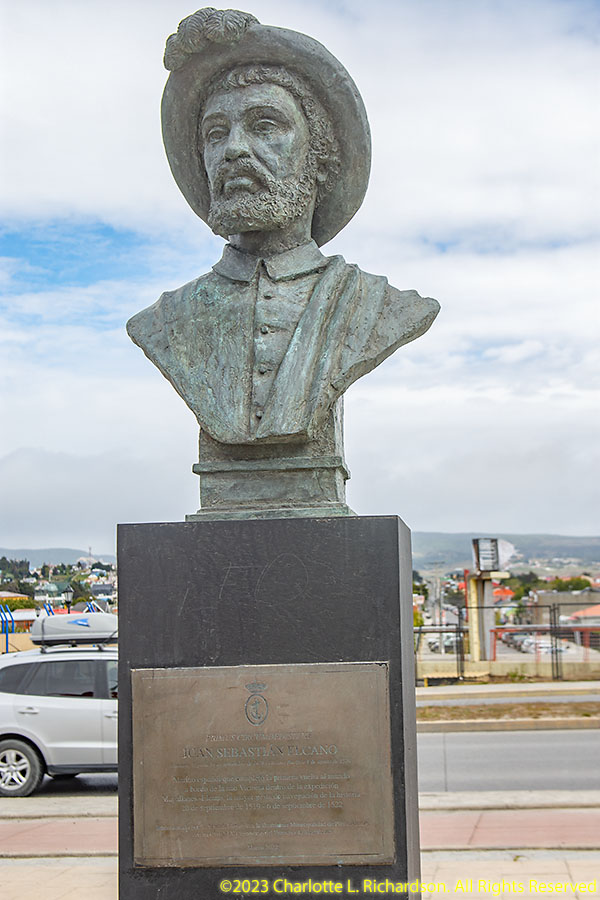
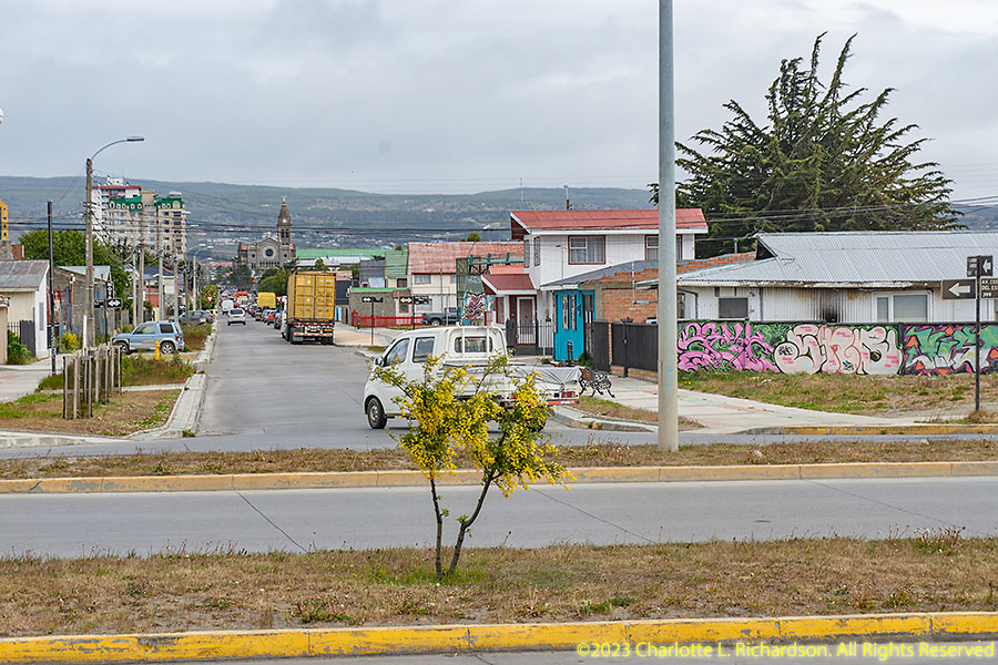
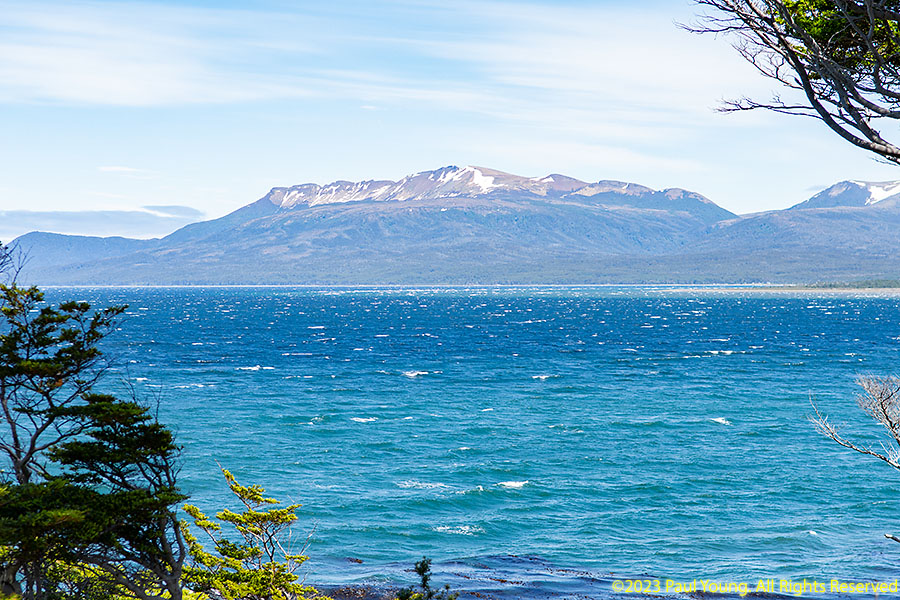
Patagonia, the southern tip of South America, includes the southern Andes Mountains, lakes, fjords, icefields, glaciers, and temperate rainforests in the west and desert, tablelands, and steppes in the east. Punta Arenas, on the Straits of Magellan, is Patagonia's largest city and the regional capital of Magallanes Region.
Scenery:
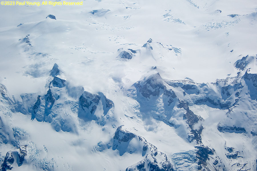
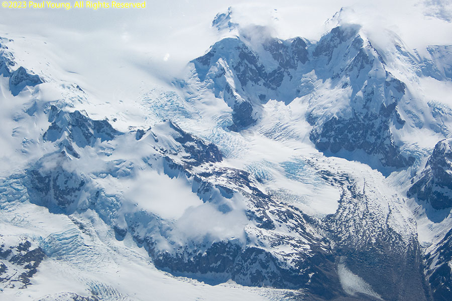
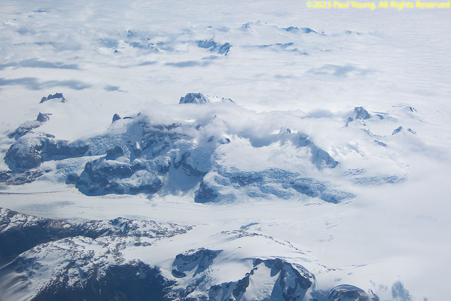
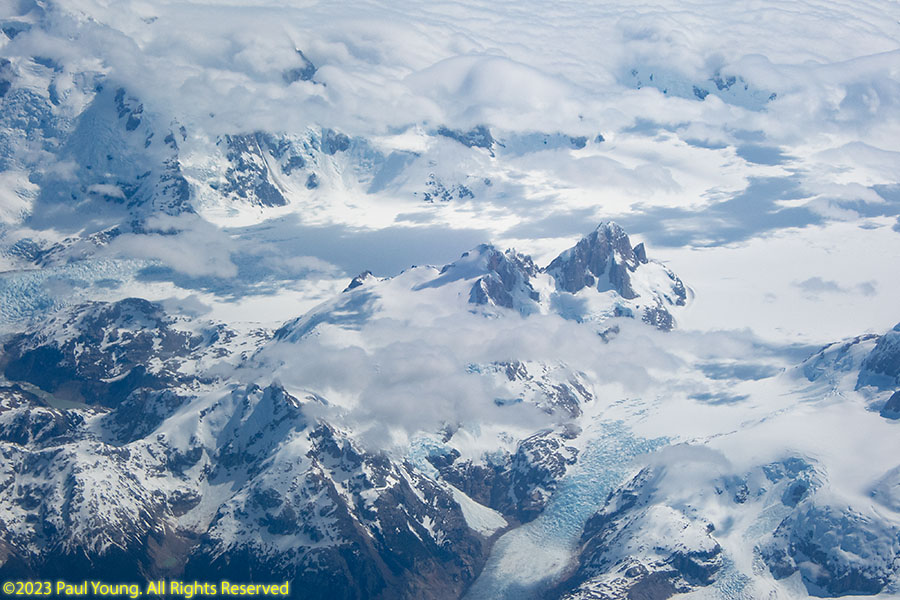
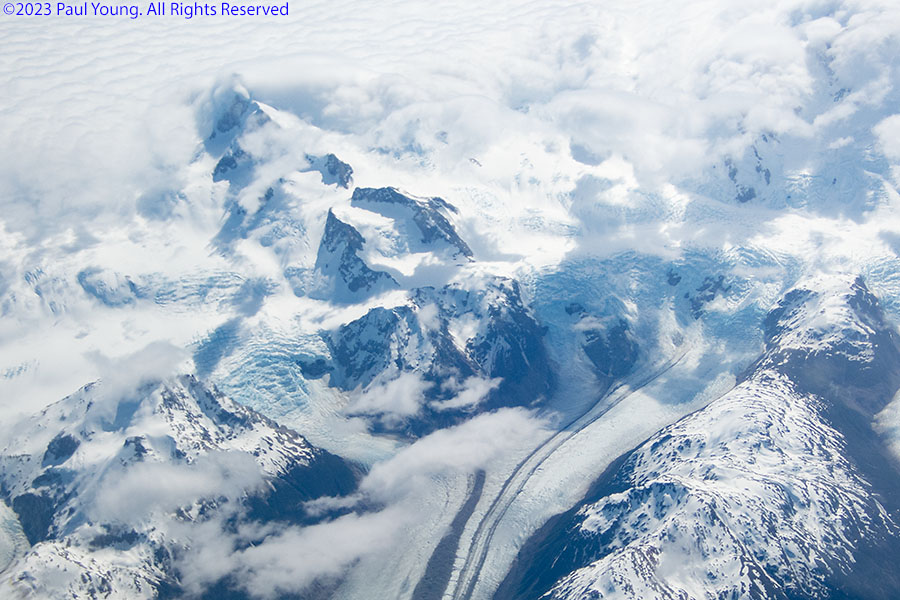
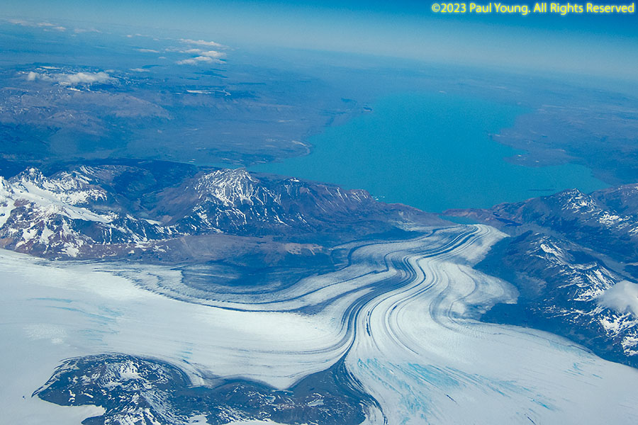
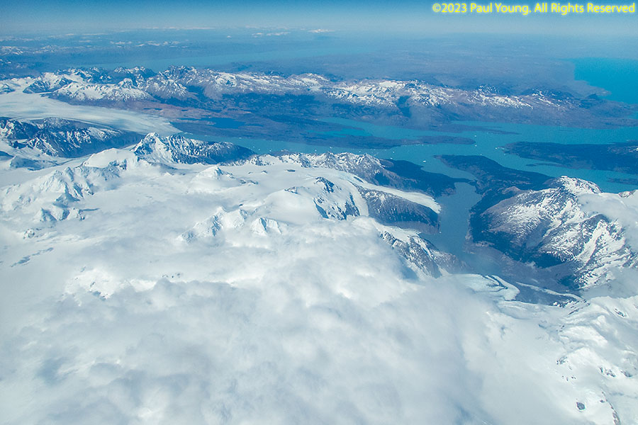
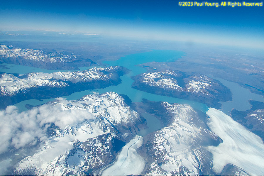
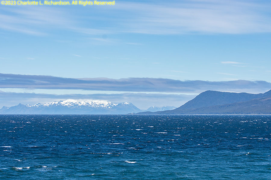
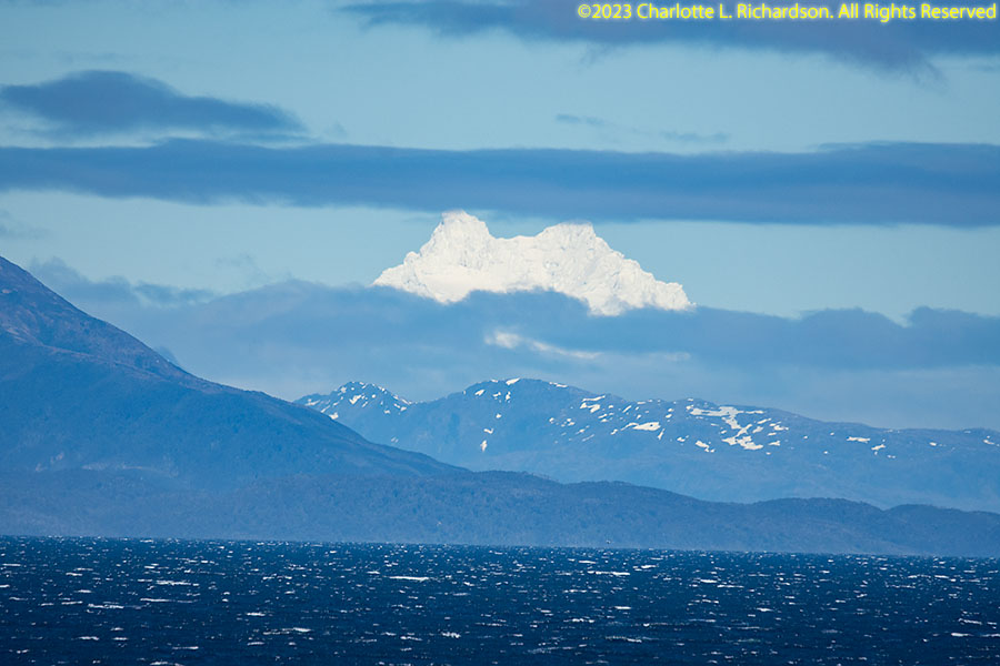
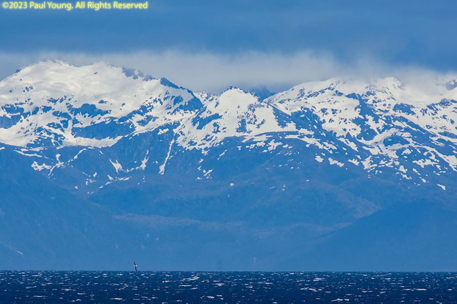
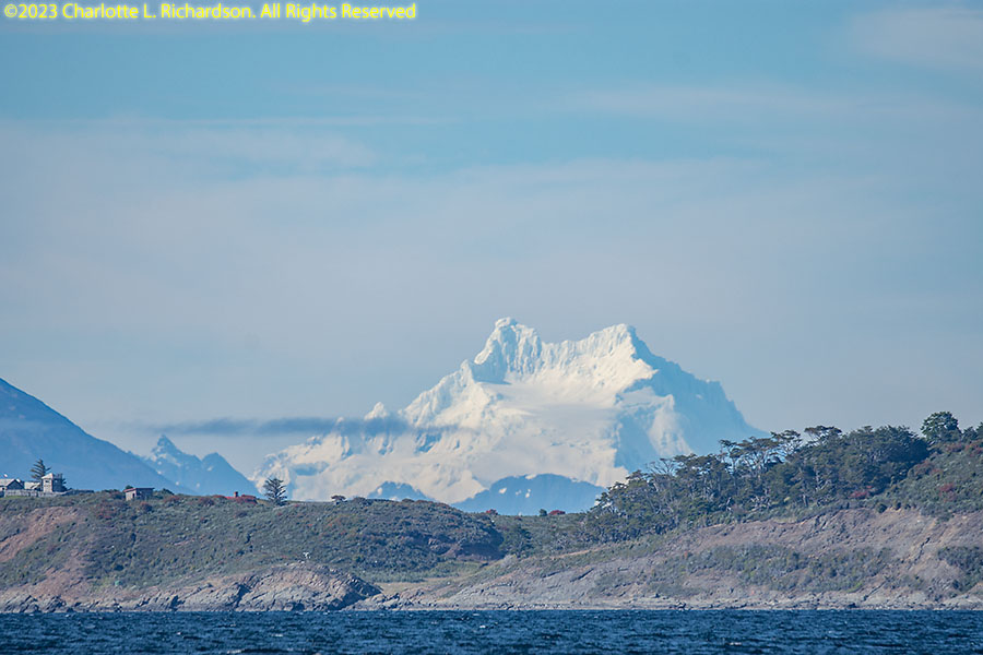
The Southern Patagonian Ice Field is the third largest ice field after Antarctica and Greenland.
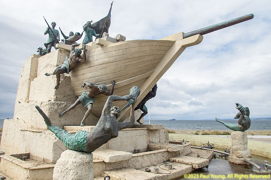
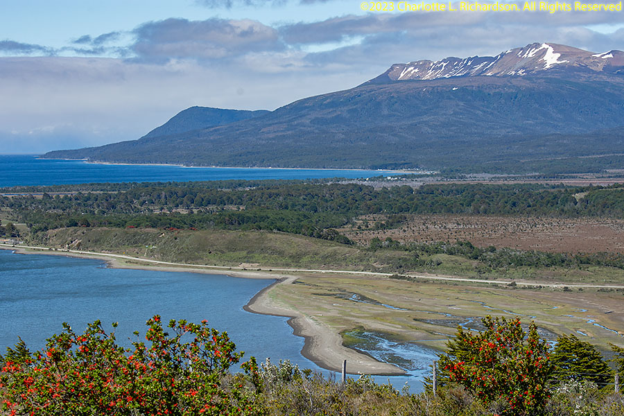
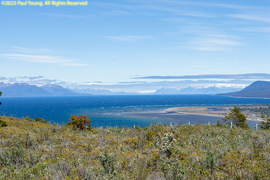
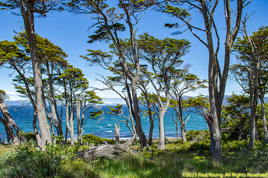
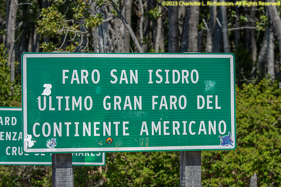
The terrain of the Reserva Nacional Magallanes, 8km west of Punta Arenas, is Patagonian steppe and southern beech forest. West and south, Parque del Estrechio de Magallanes (Strait of Magellan Park) and Fuerte Bulnes, 62 km south of Punta Arenas, site of the original settlement establishing Chile's claim to the Straits of Magellan, are accessible by the southernmost driveable road of mainland South America.
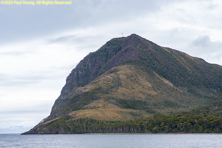
The road ends 32km north of Cabo Froward (Cape Froward), the southernmost tip of the mainland. The current cross on top, Cruz de los Mares, was built in honor of Pope John Paul II's visit to Chile in 1987, replacing several earlier ones destroyed by the harsh weather,
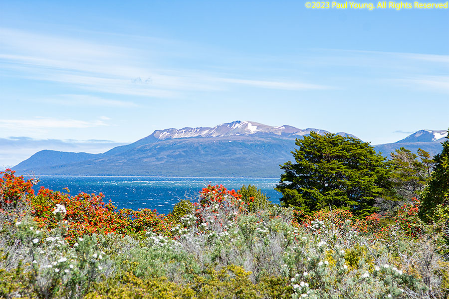
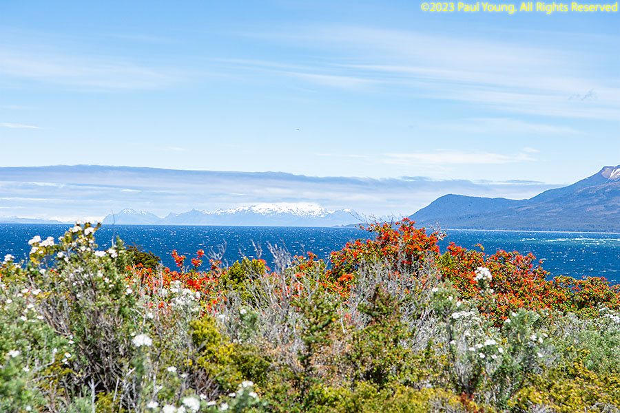
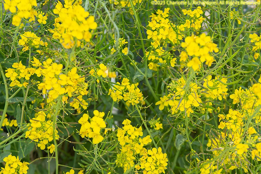
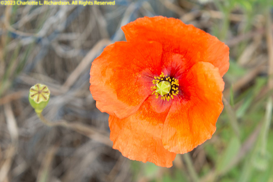
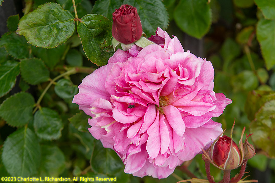
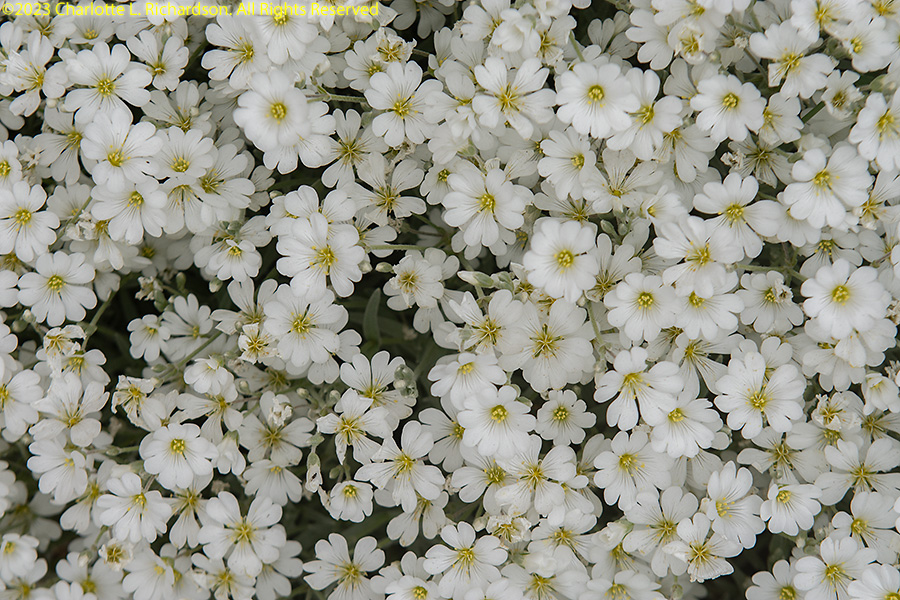
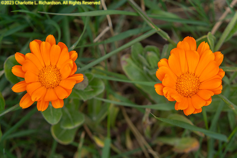
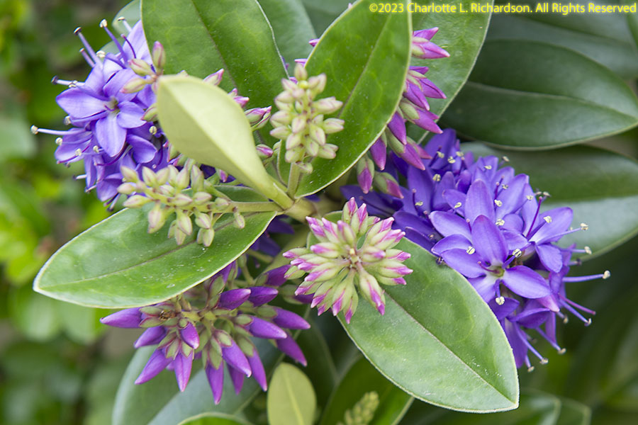
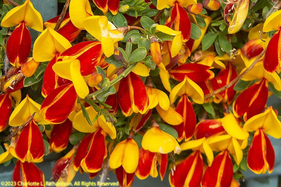
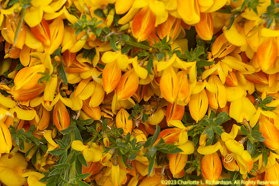
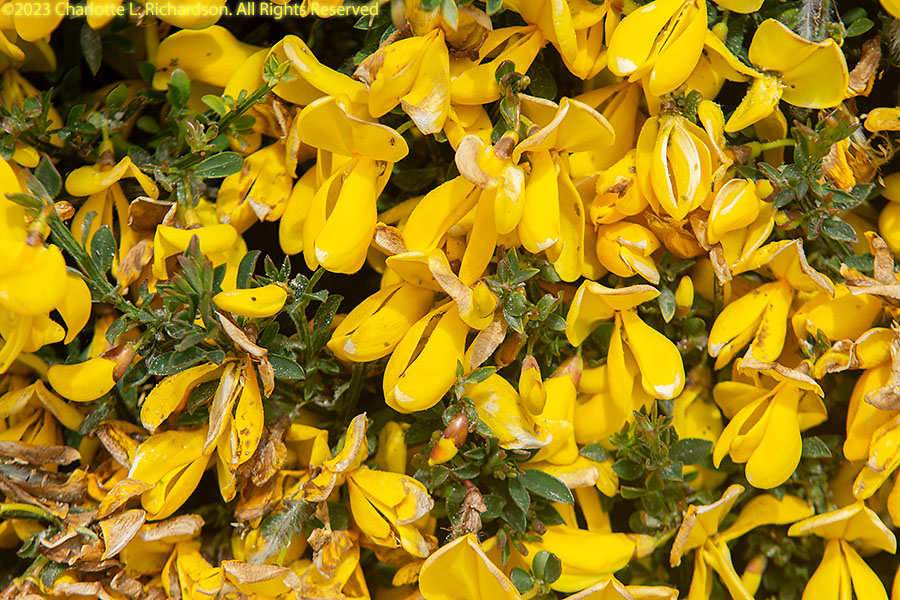
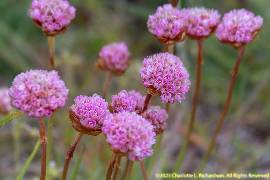
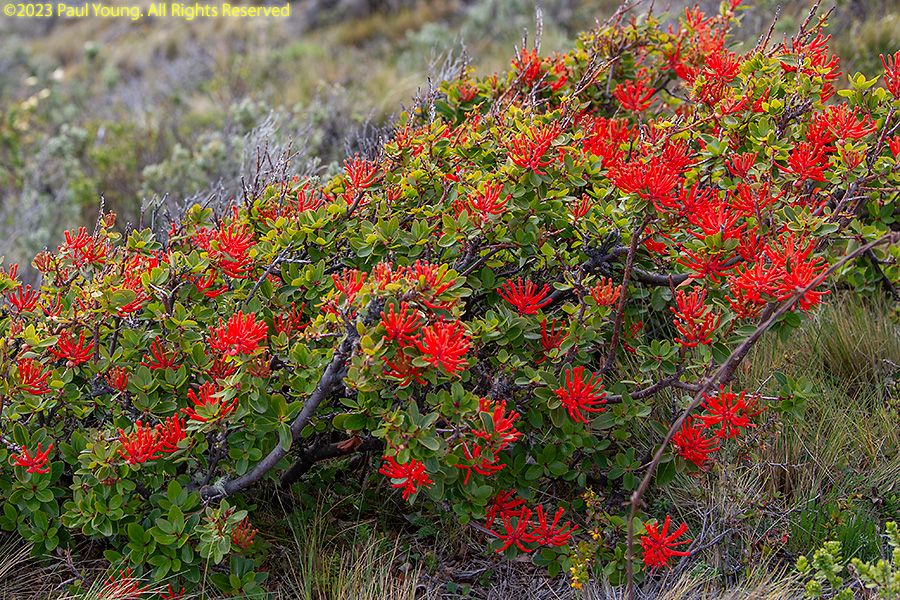
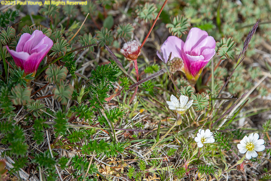
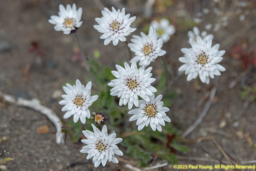
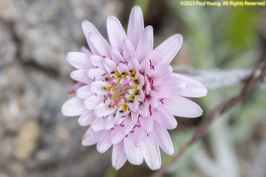
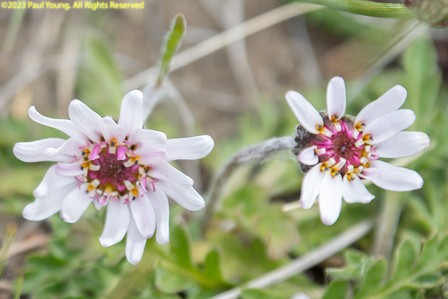
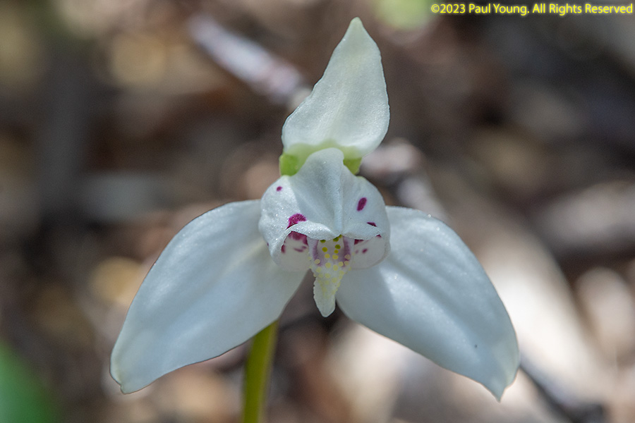
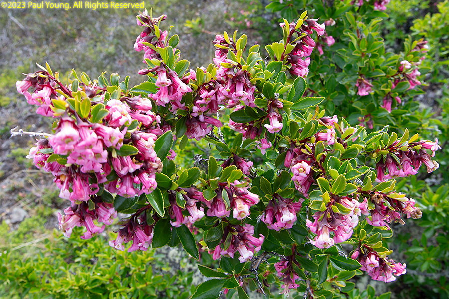
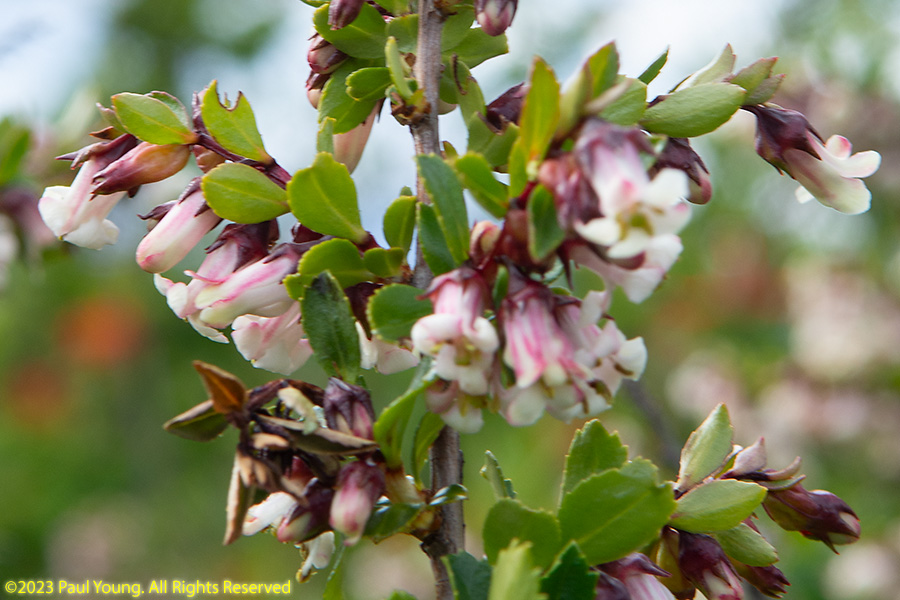
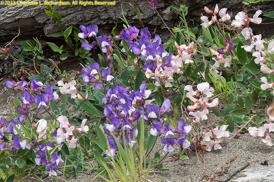
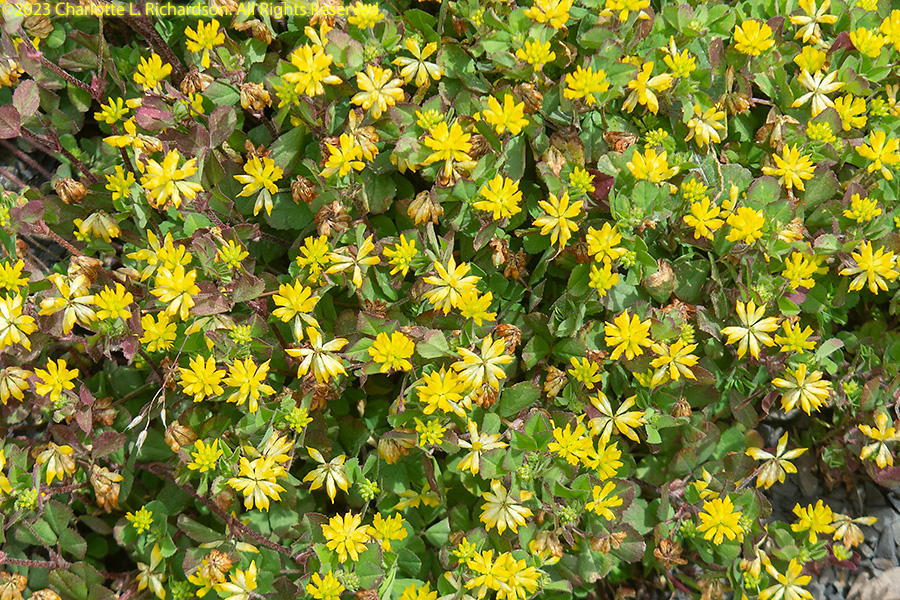
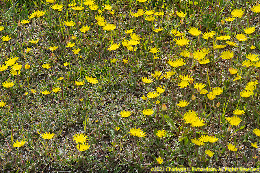
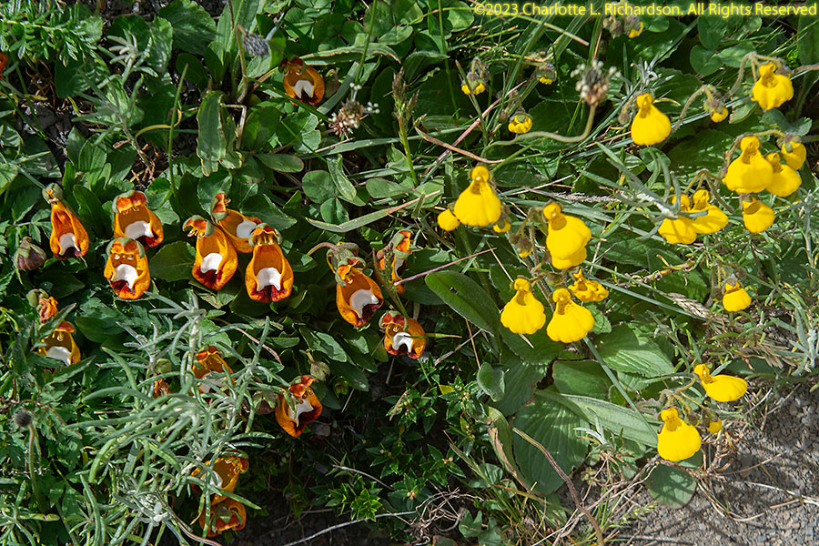
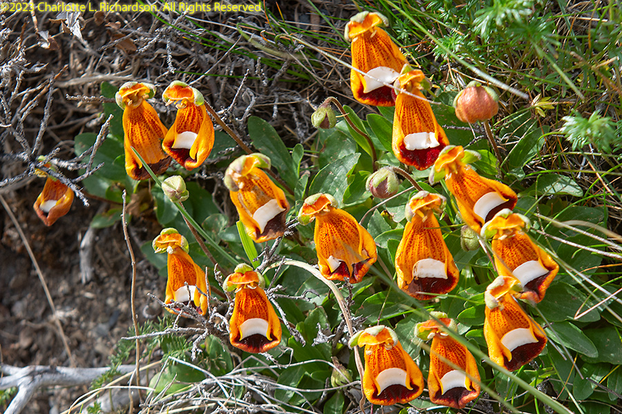
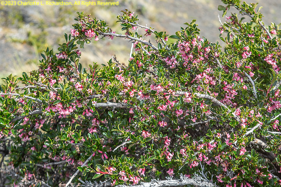
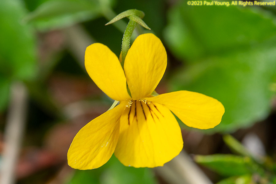
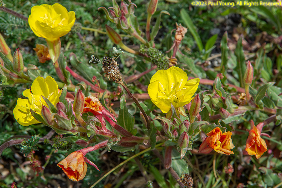
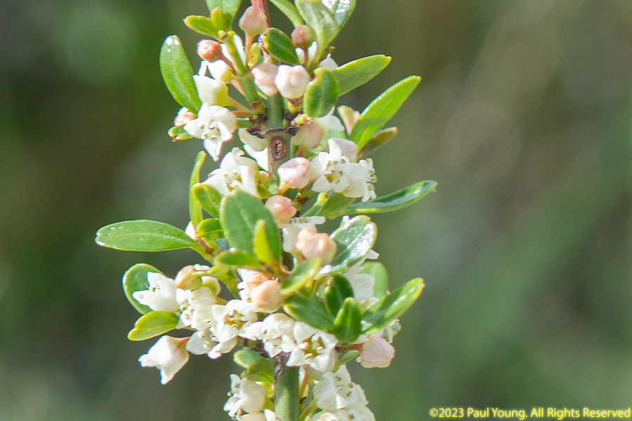
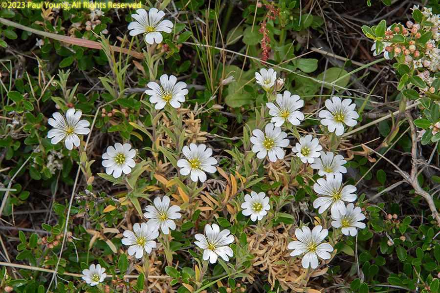
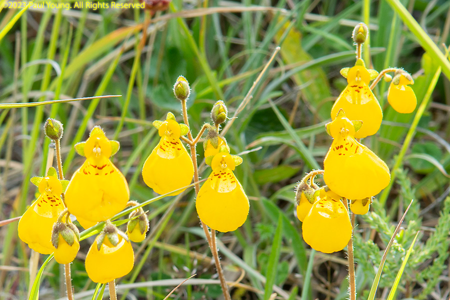
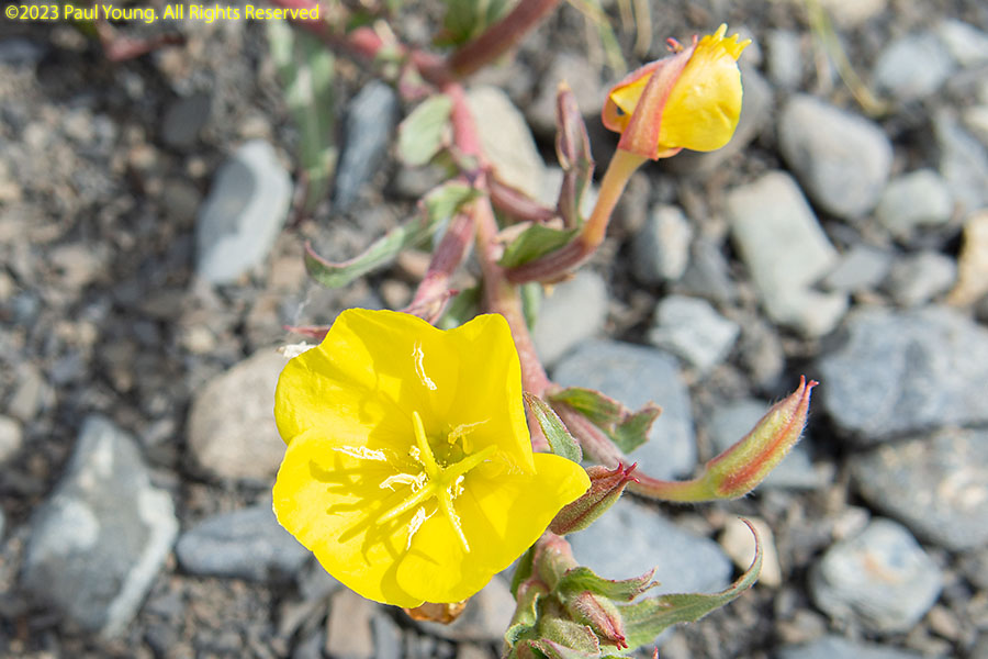
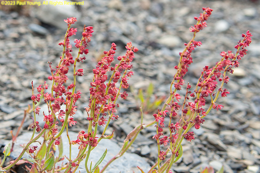
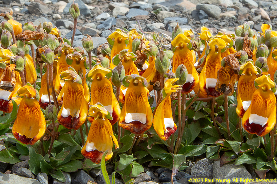
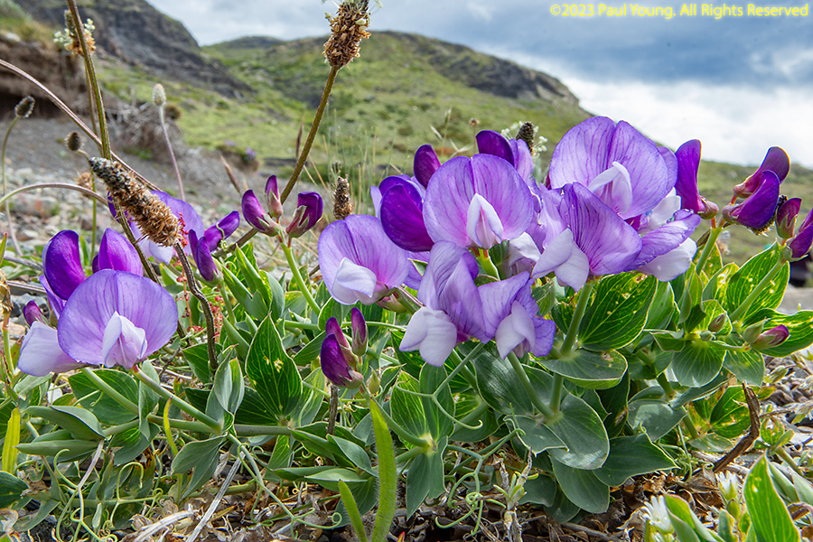
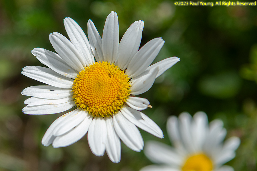
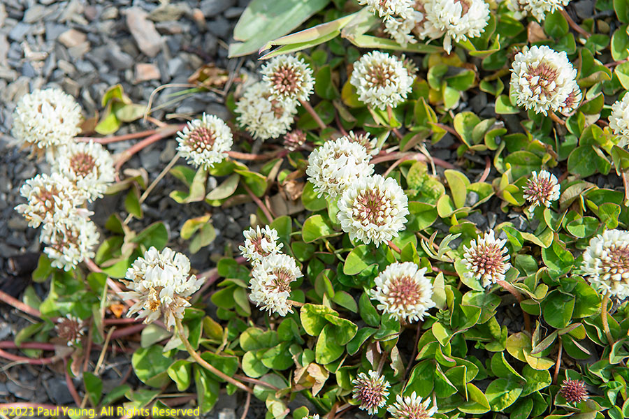
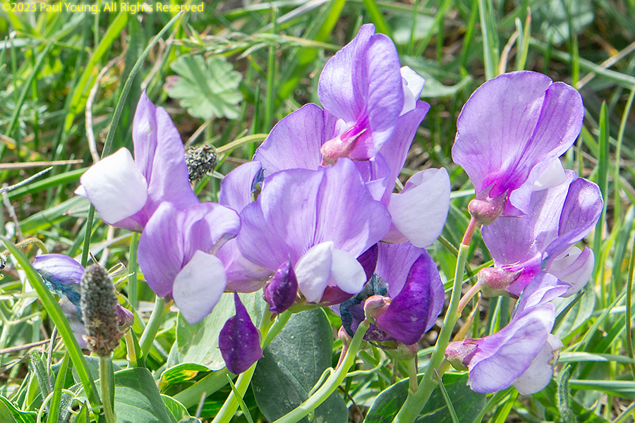
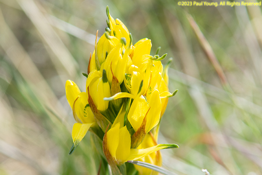
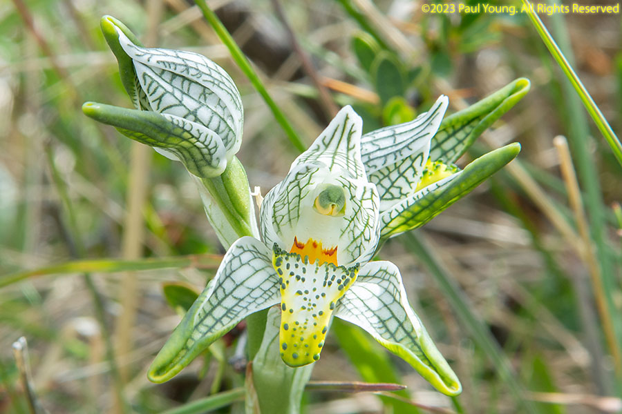
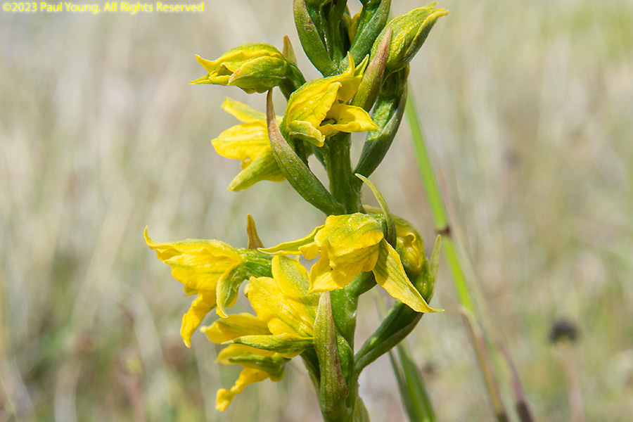
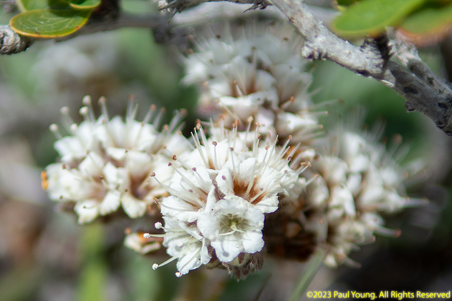
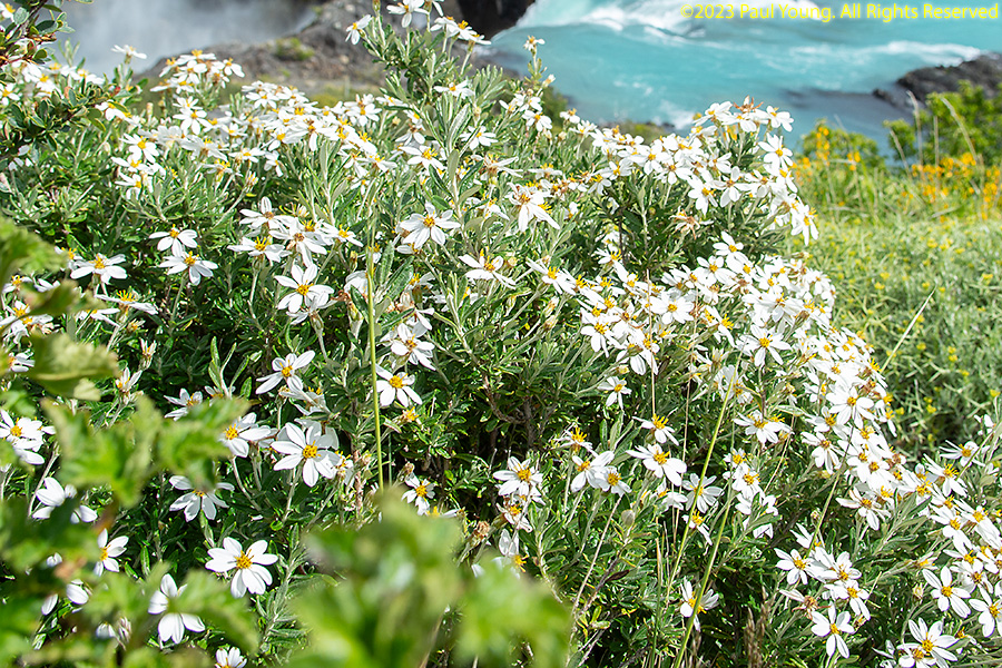
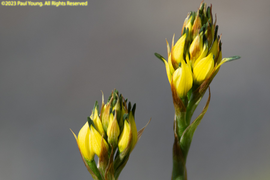
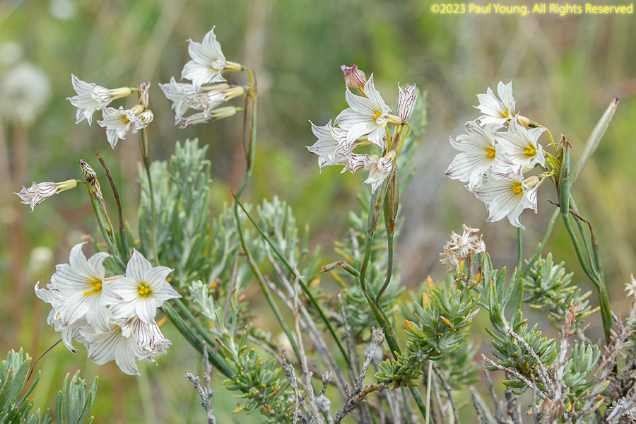
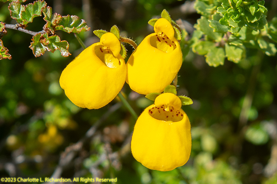
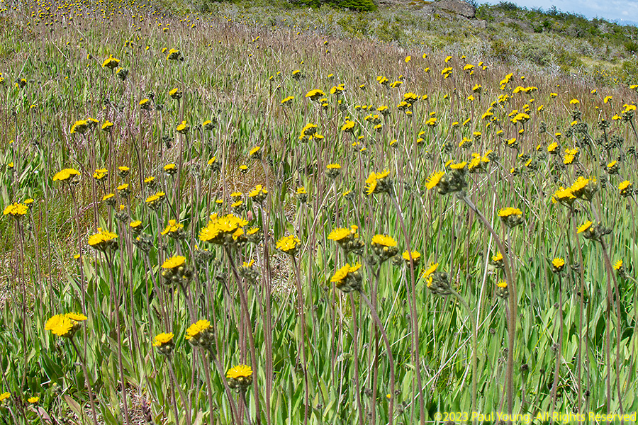
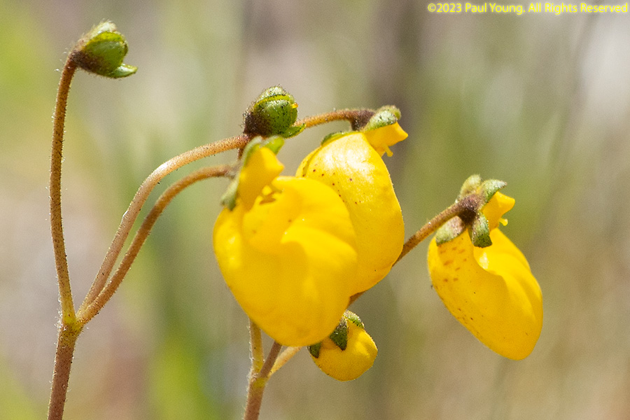
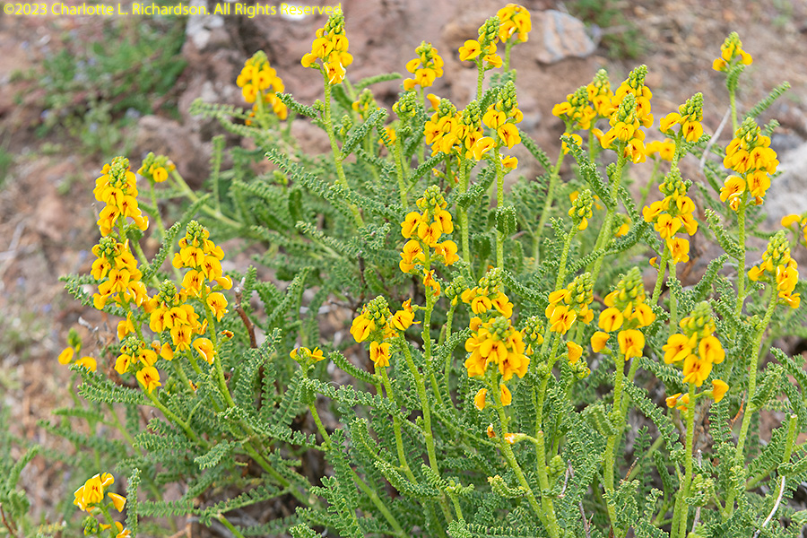
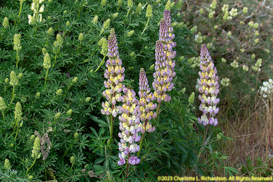
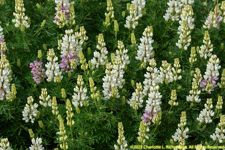
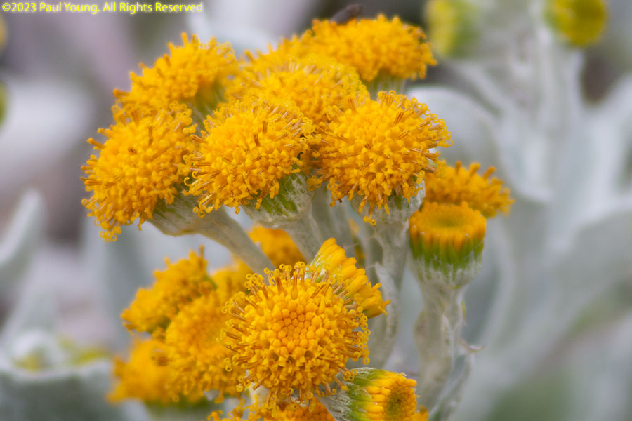
The austral spring-summer season is short, and all the flowers bloom at once at this high latitude.

Wildlife:
Iconic birds:
©2023, 2024 Mermaid Underwater Photographic. All Rights Reserved.
Contact us at mermaid@underwater.org.
Last modified 26 March 2024
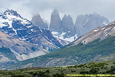 Torres del Paine
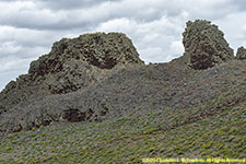 Parque Nacional Pali Aike
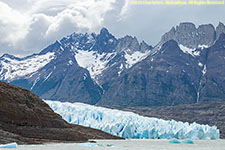 Fjords and glaciers
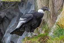 Andean condors
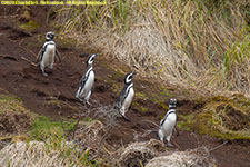 Penguins
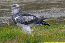 Other birds
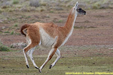 Mammals
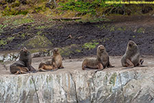 Marine mammals